Land Type Classification - Computer Vision Model
تفاصيل العمل
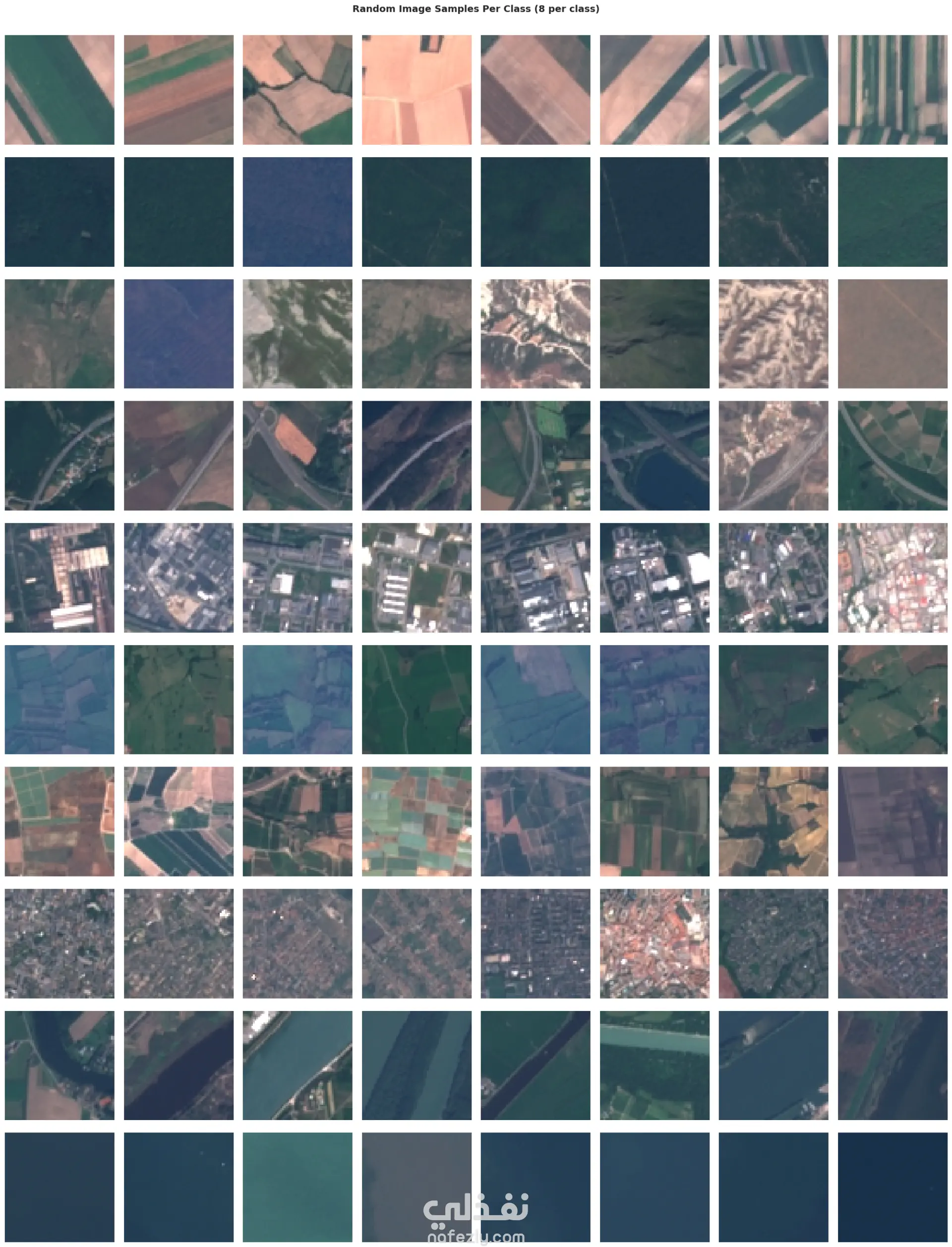
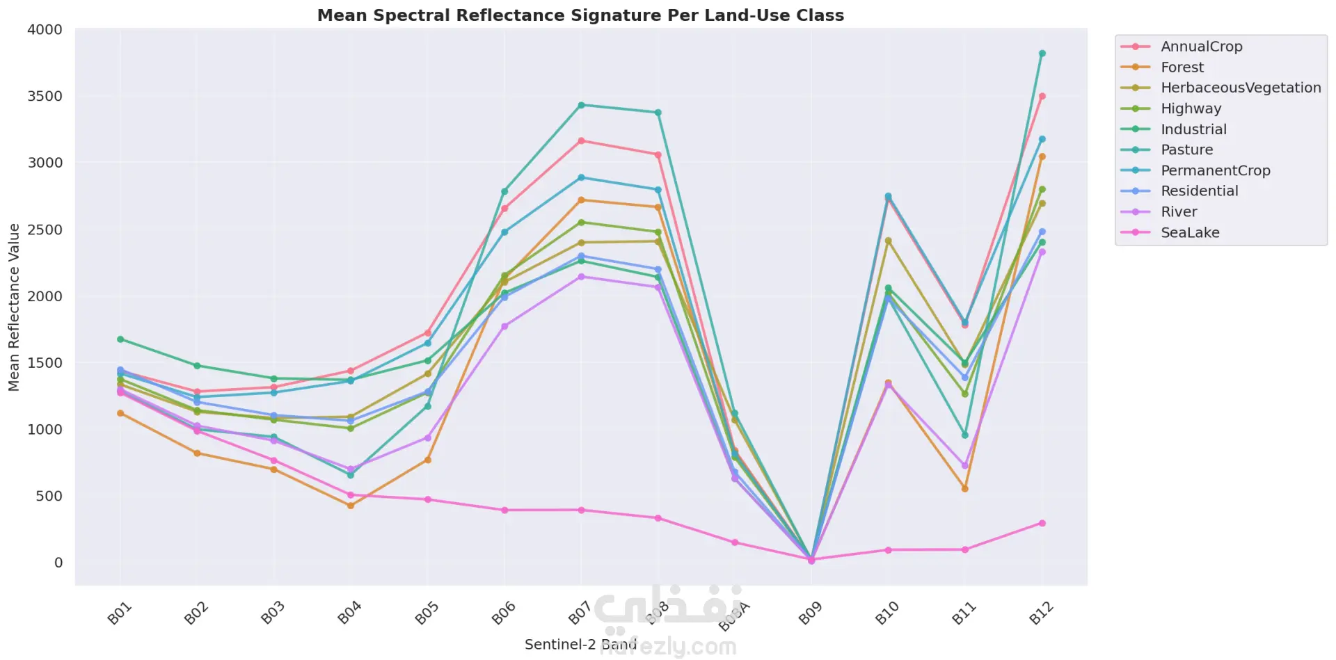
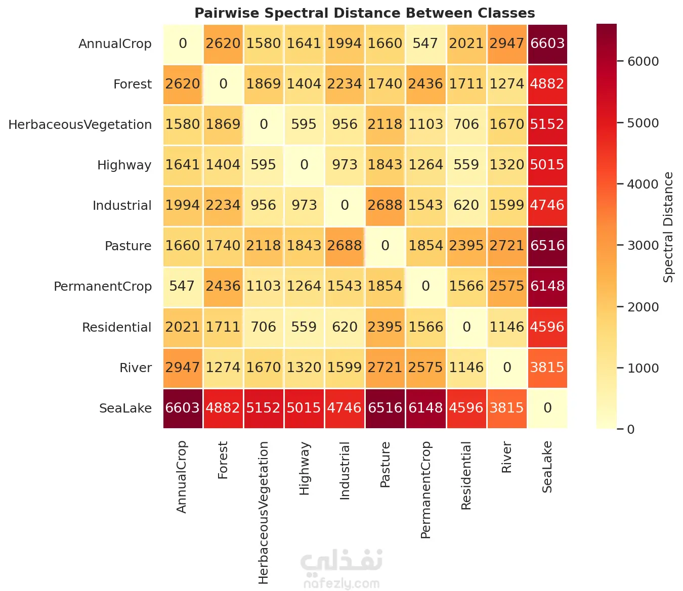
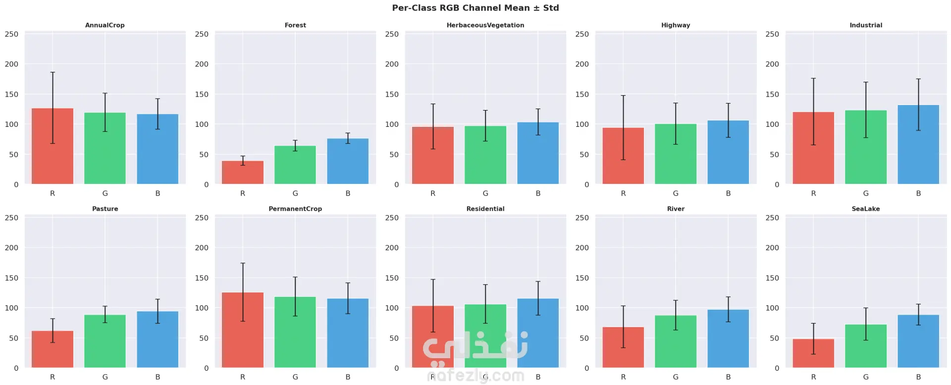
This project focuses on developing a machine learning system for automated land type classification using satellite or aerial imagery. The system aims to classify land into predefined categories such as urban areas, agricultural land, water bodies, forests, and barren land. The solution leverages computer vision and deep learning techniques and follows the full machine learning lifecycle, from data preprocessing to deployment and evaluation.
مهارات العمل
بطاقة العمل

طلب عمل مماثل